Robots and drones take to UK orchards in groundbreaking project – Fruit Grower
Led by Hutchinsons agronomist Rob Saunders, a new project has been setup to develop a commercially viable system for precisely targeting orchard inputs. ...
Led by Hutchinsons agronomist Rob Saunders, a new project has been setup to develop a commercially viable system for precisely targeting orchard inputs.
The four-year, £4.5 million Precision Orchard Management for the Environment (POME) project is part-funded by commercial partners, as well as Innovate UK and Defra. It will use cutting-edge technology to examine fruit trees in fine detail and enable inputs to be targeted to specific plants, or even parts of the plant.
“The ultimate aim is to reduce the environmental impact of tree fruit production by using fewer plant protection products, while simultaneously increasing orchard production efficiency, output and profitability through increased yield and grade-out,” said Mr Saunders.
POME will use digital scanning to generate dosing maps for blossom and fruit thinning, fertiliser, growth regulators, pest control and fungicides, and provide more accurate yield forecasting. This will be combined with precision dosing equipment to reduce the use of chemicals.
“It’s about raising the efficiency of how we use all resources that go into fruit production, including the land,” he explained.
Taking precision to the next level
It builds on the work undertaken in the Innovate UK-funded Precision Orchard Dosing System (PODS) project, which used LIDAR scanning to map tree height and density ahead of a drone-based scan to assess blossoms.
The data collected was analysed using AI to produce a variable rate plan for thinners and growth regulators, applied with a purpose-built sprayer fitted with RTK and robotic localisation and mapping techniques.
“The aim of PODS was to prove the concept could work and develop a prototype,” Rob explained. “Now, with the new POME project, we want to take all of that work on to the next stage and develop a commercially viable precision orchard management system that is ready for market in the next four years.”
While the task is ambitious, it is backed by an industry-wide consortium, including engineers N. P. Seymour; Global Navigation Satellite System and software developer The Acclaimed Software Company; marketing desk Avalon Fresh; aerial imaging company Outfield; robotics firm Antobot; disease, pest and stress detection specialists Fotenix; horticultural experts from NIAB East Malling; data science expertise from NIAB Cambridge; agri-economics from the University of Kent; robotics and automation expertise from Loughborough University; and the Health and Safety Executive’s Chemicals Regulation Division (CRD).
“It’s important that regulators understand what we are doing and CRD are involved in the project to help design trials that are useable for regulatory purposes. In the long term, precision application systems such as this may even help to secure future approval for certain products.
“Of course, no system, however good it is, will be any use unless it is practically and economically attractive to growers, so we’ve also enlisted the help of two commercial farms in Kent – Plumford Farms Ltd and ACH Farming Ltd – that will test the new system as we develop it.”
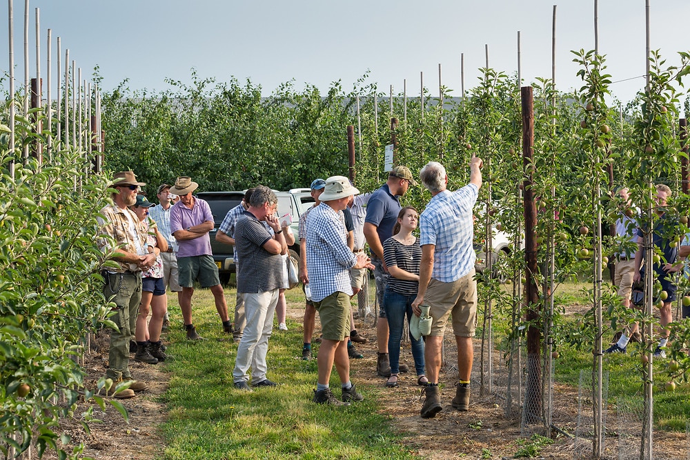
The starting point of POME is autonomous data gathering, minimising the need for the agronomist or grower to walk the rws and spot differences or potential issues.
The team will develop three main ways of collecting data:
- Tractor-mounted sensors (e.g. hyperspectral imagery, NDVI, LIDAR scanning) to identify any variations in tree health or development. Having sensors mounted on the tractor allows a range of data to be collected every time the tractor passes through the orchard doing other operations
- Drone surveying during the flowering period to map blossom intensity of individual trees across the entire orchard
- Robot scanning from the ground. Scanning during daytime can be affected by variations in natural light intensity, therefore robot scanning will be done autonomously at night using artificial lights fitted to the vehicle and carried out at low speeds that would not be practical for a tractor-based operation.
Data will then be brought together into a central software program where it will be analysed and interpreted to generate a digital map highlighting variations. This could include areas of disease, variability in size and crop load in individual trees.
The final part of the project involves developing a commercially viable application system that can use this digital map to vary applications according to the requirements of each tree.
To ensure a high level of accuracy throughout the project, Loughborough University has been enlisted to provide its machine learning and location system.
“Some might think that systems like this are complicated and expensive, and only suited to very large-scale farms. The system we are building will cater for different sizes of farm businesses and with optional services depending on the farm’s needs. The industry has changed a lot in recent years and will continue to do so as technology advances, and we believe systems like this will become commonplace.
“Times change, and one thing is clear, the future certainly isn’t going to be like the past.”